Beschrijving
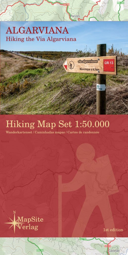
Wandelkaartset van 6 kaarten van de Via Algarviana.
The Via Algarviana (GR13) is a long distance trail in Portugal, running 300 km from Alcoutim at the Spanish border across the entire length of the Algarve to Cape St. Vincent at the Atlantic Ocean.
A scale of 1:50.000, accurate relief presentation, 25-m contours, UTM-grid and -projection (for GPS-usage) location information about accomodation, amenity and attracttion etc makes this set of maps to the ideal companion of those, who walk the via Algarviana.


